Hohe Tauern National Park
Location
Carinthia, Salzburg, and Tyrol in Austria
Area
1,856 km²
Activities
Hiking, mountaineering, wildlife observation, national park exhibitions
Highest peak
Großglockner at 3,798 m
Best time for hiking tours
June to September
Wild Nature in the Heart of the Alps
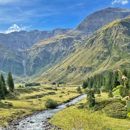
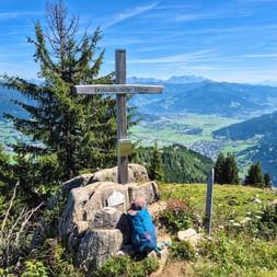
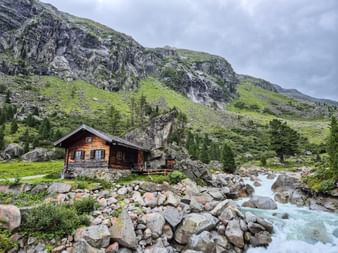
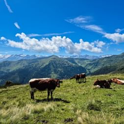
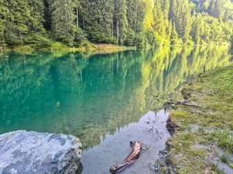
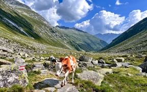
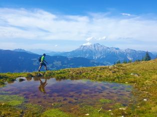
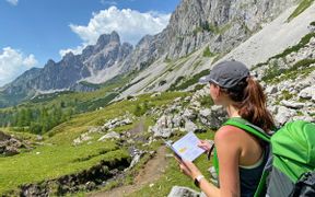
Welcome to Hohe Tauern National Park — one of the most impressive high mountain landscapes in the world! Few national parks offer such a fascinating and diverse scenery. Green valleys, roaring waterfalls, tranquil mountain lakes, imposing Dreitausender (peaks over 3,000 meters / 9,843 feet), and mighty glaciers create a rich palette of alpine nature waiting to be explored.
Spanning 1,856 km² (approximately 716 sq mi) of untouched wilderness, the park is home to around 3,500 plant species, 15,000 animal species, and 300 peaks reflecting the incredible biodiversity of the Alps. Austria’s highest and most famous peaks, Großglockner, Großvenediger, and Hoher Sonnblick are found here.
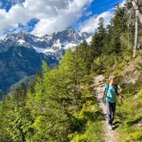
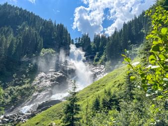
At the Krimml Waterfalls, you can experience up close the immense power of Europe’s tallest waterfalls. The Hohe Tauern truly are a paradise for hikers. The diverse flora and fauna, the force of water, and breathtaking panoramas inspire thousands of hiking enthusiasts every year.
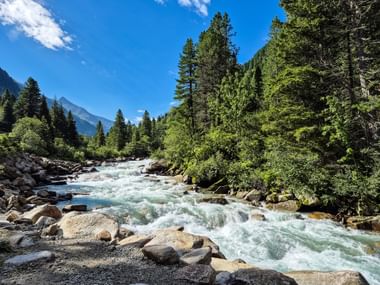
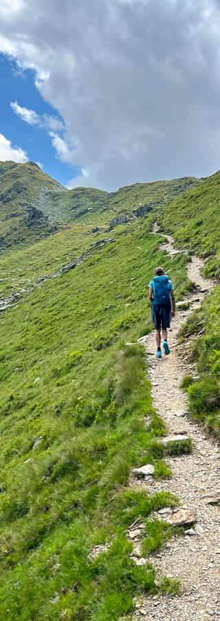
Our hiking tour in Hohe Tauern National Park promises new natural experiences at every stage: breathtaking glacier views, picturesque high trails, and wildlife along the way. Starting at the impressive Krimml Waterfalls, the route leads through the idyllic Krimmler Achental valley to Neukirchen, passing traditional Pinzgau mountain farms. The Glacier Trail then takes you into the untouched core zone of the national park, an adventure right in the heart of the Alps.

Tuscan Archipelago National Park
Location
Tuscany, Provinces of Livorno and Grosseto
Area
600 km²
Activities
Hiking, diving, snorkeling, birdwatching, sailing, nature tourism
Highest Peak
Monte Capanne at 1,019 m
Best time for hiking tours
April to May, September to October
Island Dreams Under Protection
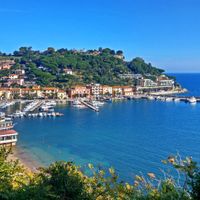
Seven Islands and a Turquoise Sea — Doesn’t That Sound Like a True Natural Paradise? The Tuscan Archipelago National Park, located between Livorno and Monte Argentario, is Europe’s largest marine protected area. Spanning 18,000 hectares (44,500 acres) of land and 60,000 hectares (148,000 acres) of sea, the park preserves natural habitats under strict protection.
What does this mean in practice? The goal is to keep nature in its original state, to manage human activity so it causes minimal environmental impact, and to raise awareness among locals and visitors about the importance of respecting this unique environment. Additionally, the park serves as an important site for scientific research on native flora and fauna.
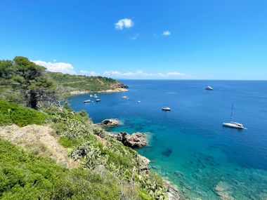
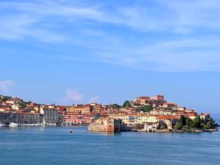
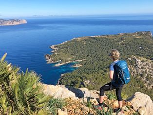
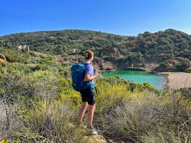
The seven islands — Elba, Giglio, Capraia, Montecristo, Pianosa, Giannutri, and Gorgona — are true gems nestled between the Ligurian Sea to the north, the Tyrrhenian Sea to the south, Corsica to the west, and the Tuscan coast. With their steep cliffs, charming coves and beaches, and rich underwater ecosystems, these islands attract nature lovers and water sports enthusiasts alike.
Beneath the waves, divers discover a vibrant marine world. Rocky walls covered with colorful sponges and coral algae shelter groupers, lobsters, moray eels, and octopuses. The seafloor teems with sea urchins, anemones, and gorgonians. Among the marine stars are dolphins—especially the common bottlenose dolphins frequently spotted around the islands.
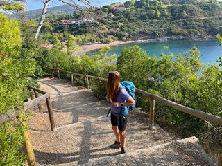
In the Tuscan Archipelago National Park, island dreams and hiking adventures come together. The Eurohike Tuscan Coast hiking tour leads from Pisa along the scenic high trails of Piombino to Elba. A breathtaking summit hike on Elba, the largest island in the park, offers panoramic views of the neighboring islands and serves as the perfect grand finale to the journey.
Travel Stories from the Tuscan Archipelago
Berchtesgaden National Park
Location
Southeast Bavaria, Berchtesgadener Land district, directly bordering Austria
Area
210 km²
Activities
Hiking, mountain biking, mountaineering und climbing
Highest Peak
Watzmann at 2,713 m
Best time for hiking
June to September
Germany’s only Alpine national park
“Berchtesgaden National Park preserves undisturbed natural processes, free from human intentions and value judgments.”
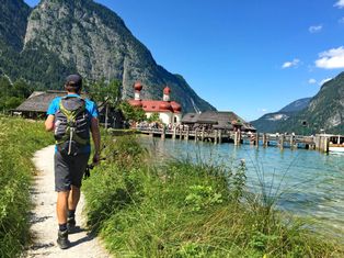
The vision of Berchtesgaden National Park is clear: in this stunning corner of the world, nature takes the lead. A well-marked trail network spanning 260 kilometers (160 miles) invites hikers from near and far to explore the park while respecting and preserving its pristine environment.
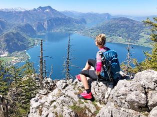
Berchtesgaden National Park lies within the Northern Limestone Alps and is bordered on three sides by the Salzburg Limestone Alps. This makes it an ideal destination for a diverse hiking experience that not only traverses mountain ridges but also crosses the border between Germany and Austria.
Outdoor enthusiasts will appreciate the park’s diverse vegetation, ranging from mixed mountain forests in the valleys to subalpine spruce and larch forests at higher elevations. The park is home to thriving populations of chamois, roe deer, red deer, ibex, and alpine marmots. Majestic birds of prey, including golden eagles and bearded vultures, frequently soar above the peaks.
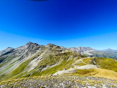
One spectacular Alpine crossing leads from the Königssee through the Hohe Tauern mountains to Carinthia, concluding at either Lake Millstatt or Lake Wörthersee. Another route winds through Lofer and Reit im Winkl, ending at Lake Chiemsee.
For those eager to explore the UNESCO World Heritage region of Salzkammergut, a standout option is a remarkable section of the long-distance Salzalpensteig trail, stretching from Berchtesgadener Land across the Tennengebirge mountains to the renowned Lake Hallstatt.
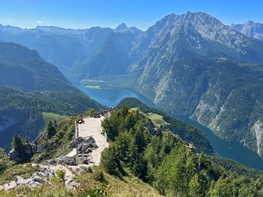
Hiking Tours in Berchtesgaden National Park
Parque Natural da Ria Formosa
Location
Algarve region in southern Portugal
Area
170 km²
Activities
Birdwatching, hiking, boat tours, kayaking, nature photography
Notable wildlife
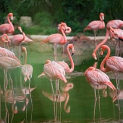
Seahorses, flamingos, purple swamphens, chameleons, otters, spoonbills
Best time for hiking tours
March to May, September to October
An Oasis of Biodiversity
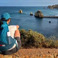
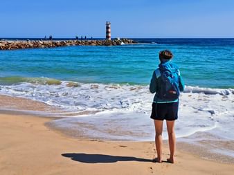
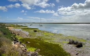
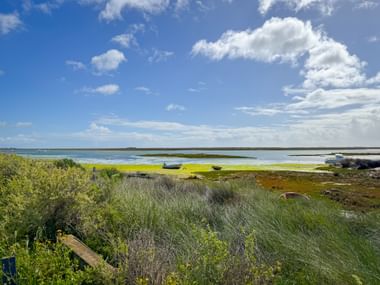
Off the southern coast of Portugal’s Algarve region lies the impressive Parque Natural da Ria Formosa, a stunning wetland featuring a picturesque lagoon landscape of sand dunes, peninsulas, and five peaceful islands. Spanning 60 km² (about 23 square miles), this nature park is a true sanctuary for a wide variety of animal species. Over 50 different fish species call these waters home, while the park also provides an essential breeding ground for numerous birds—from storks and herons to cranes and flamingos.
The area is sheltered by five long, narrow islands: Ilha Deserta, Ilha da Culatra, Ilha da Armona, Ilha de Tavira, and Ilha de Cabanas. Visitors seeking tranquility will find these islands ideal, as there are no hotels or other accommodations here. Day-trippers and locals alike come to swim, stroll, snorkel, surf, or simply enjoy the rich diversity of flora and fauna.
The park extends between the beaches of Praia do Garrão and Praia da Manta Rota and borders the towns of Faro, Olhão, and Tavira. From these coastal points, visitors can catch a boat to explore any of the islands.
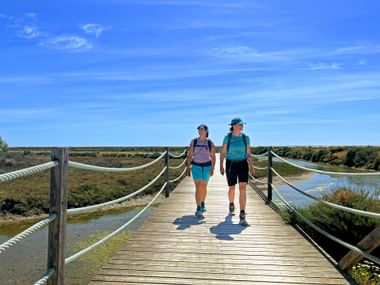
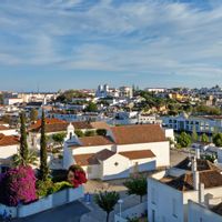
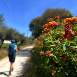
On our Algarve hiking tours – whether based at a single hotel or exploring the coast – you’ll have the chance to discover this biodiversity-rich nature park. The journey begins in the authentic fishing village of Fuzeta, follows the lagoon’s edge, and continues to Ilha de Tavira, also part of the park where some of the region’s most stunning sandy beaches await, perfect for a relaxing afternoon by the sea.
Jotunheimen National Park
Location
Southern Norway
Area
1,151 km²
Activities
Hiking, climbing, ski touring, glacier hikes, fishing
Highest peak
Galdhøpiggen at 2,469 m
Best time for hiking tours
June to September
In the Realm of Giants
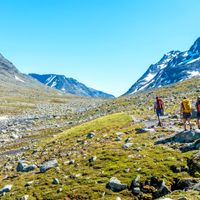
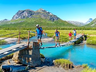
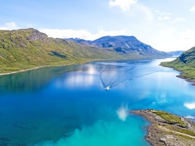
Hike among the highest mountains in Northern Europe, take in sweeping views of crystal-clear alpine lakes, marvel at snow-capped peaks and glaciers, and be surrounded by lush, blooming vegetation—all this awaits you in Norway’s Jotunheimen National Park. Towering above it all is Galdhøpiggen, the tallest mountain in Northern Europe, standing in quiet majesty.
The park’s wildlife consists of true high-altitude specialists—only the hardiest species thrive in this rugged wilderness. Wolverines, reindeer, and birds of prey all call the national park home. With a wingspan of up to 2.2 meters (over 7 feet), the golden eagle glides effortlessly through the skies, surveying the landscape below. Many hikers dream of seeing Jotunheimen from this majestic bird’s point of view. Jotunheimen National Park is part of the Caledonian mountain range, which stretches the length of Norway from north to south.
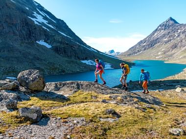
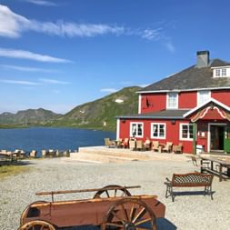
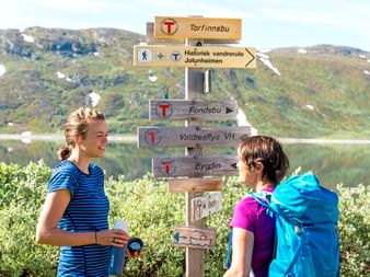
Our hiking tour through Jotunheimen National Park begins at the scenic Oslofjord. Along the route, you’ll discover unforgettable highlights: the sweeping views from Synshorn’s summit, the shimmering expanse of Lake Bygdin, the dramatic beauty of the Black Valley, and the charm of the rustic mountain lodge village of Eidsbugarden. Each stop offers a unique glimpse into Norway’s alpine splendor.
The tour begins and ends in Norway’s vibrant capital, Oslo – where a stroll through the medieval old town, visits to historic fortresses, and majestic royal castles provide the perfect introduction and conclusion to your adventure.
National Park or Nature Park: A Subtle Difference
National parks and nature parks primarily differ in their conservation objectives, the extent of permitted human use, and the regulation of activities within their boundaries.
