600 Kilometers
from Germany across the Alps to Italy
29 stages
each about 4–6 hours
1.504 Meters
above sea level at the Reschen Pass
Historical significance
original Roman trade and military route
April to October
Best time to travel
Route & Itinerary
The Via Claudia Augusta follows the route of the ancient Roman road that once connected the Danube to the Adriatic. Stretching approximately 600 kilometers (373 miles), it leads from Donauwörth through Tyrol and South Tyrol to Altino near Venice or Ostiglia on the Po.
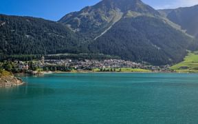
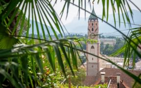
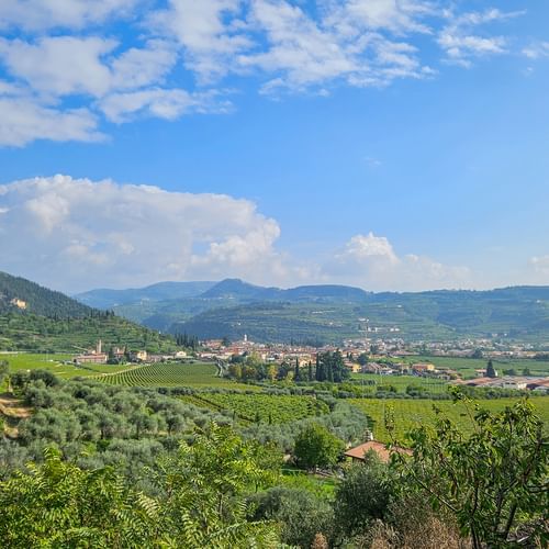
The trail winds through tranquil river valleys, over the Reschen Pass, and across the expansive plains of northern Italy. It combines gentle hiking paths, historic routes, and small side roads, all accompanied by traces of Roman history and constantly changing landscapes — from alpine peaks to olive groves.
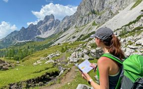
Our tours on the Via Claudia Augusta correspond the difficulty levels "moderate walking" and “walking”. Those who take their time will experience a varied route between the mountains and the Mediterranean — rich in culture, history, and regional life, with reliable infrastructure and comfortable accommodations.
Questions and Answers about hiking the Via Claudia Augusta
The Most Beautiful Places Along the Via Claudia Augusta
The Most Scenic Stages on the Via Claudia Augusta
Why Choose to Hike the Via Claudia Augusta?
Summit Views
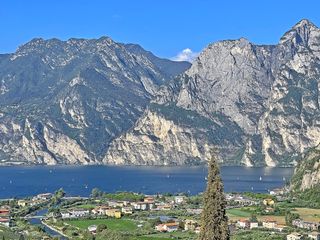
Dolomite Panorama, the Adige Valley, and sparkling Alpine lakes.
Time Travel
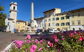
Roman bridges, Castel Toblino, and bustling market squares.
Pure Nature
Apple orchards, lush alpine meadows near Levico, and bubbling mountain streams.
Adventure Trails
Switchbacks, high paths, and trails to get your adrenaline going.
Moments of Indulgence
Valpolicella wine, South Tyrolean cheese, and fresh strudel in local inns.
Travel Stories on the Via Claudia Augusta
Via Claudia Augusta: Your Benefits with Eurohike

If you have any questions about your hiking tour on the Via Claudia Augusta, I am here to help and advise you!
Friday: 9.00 am - 5.00 pm
