170
Kilometers
from Hörschel to Blankenstein
14th century
origins as ancient trade and border routes
1.300
border stones marking former boundaries in the Thuringian Forest
44
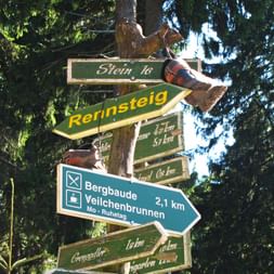
information boards with details about sights, nature, and history
“Gut Runst!”
the official greeting of Rennsteig hikers since 1900
Route & Itinerary
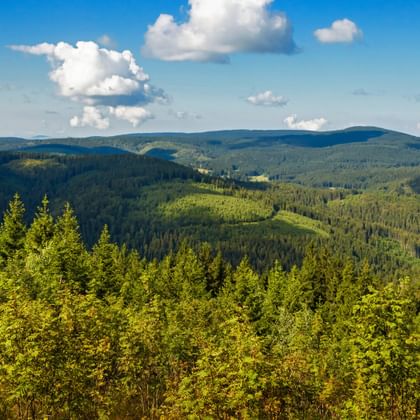
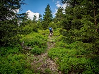
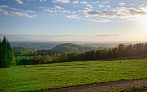
The Rennsteig Trail, Germany’s most famous long-distance hiking path, runs along the ridge of the Thuringian Forest for 170 kilometers, marked by the distinctive Rennsteig sign, a white “R”.
The path begins at the middle course of the Werra River in Hörschel and stretches all the way to the upper course of the Saale River in Blankenstein. The entire route promises a varied adventure for hikers of all ages and difficulty levels.
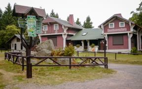
Along the Rennsteig, you will encounter around 1,300 historic border stones, 44 Rennsteig information boards detailing the region’s sights, flora, and fauna, as well as numerous Rennsteig huts. Inviting guesthouses, rest stops, and support from the Thuringian Mountain Rescue Service ensure a safe and comfortable self-guided hiking tour.
Questions and Answers about hiking the Rennsteig Trail
The Most Beautiful Places Along the Rennsteig Trail
The Most Scenic Stages on the Rennsteig Trail
Why Choose to Hike the Rennsteig Trail?
Ridge Trail
Following the crest of the Thuringian Forest.
Witnesses
of Time
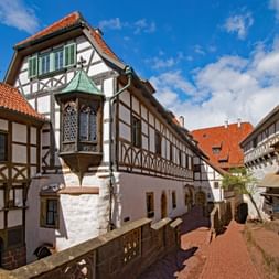
Border stones, ancient fortifications, and remnants of former duchies.
Mountain
Rescue
with dedicated stations to provide support to all Rennsteig hikers.
Rustic Stops
Enjoy hearty local dishes and warm, authentic Thuringian hospitality.
Certified
as a “Qualitätsweg Wanderbares Deutschland.”
Travel Stories on the Rennsteig Trail
Rennsteig Trail: Your Benefits with Eurohike
Rennsteig: Ihre Vorteile mit Eurohike

If you have any questions about your hiking tour on the Rennsteig Trail, I am here to help and advise you!
Friday: 9.00 am - 5.00 pm
