116 Kilometers
From Liebethal to Pirna
8 Stages
each between 11 and 18 kilometers
556 meters
Highest point: Großer Winterberg
Circular Hiking Path
through the Elbe Sandstone Mountains
April to October
Best time to travel
Route & Itinerary
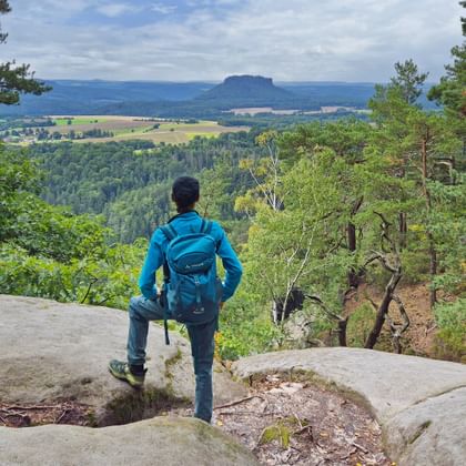
The Malerweg Trail winds for about 116 kilometers through the Elbe Sandstone Mountains in Saxon Switzerland – from Liebethal to Pirna. Along the way, you’ll encounter deep gorges, striking sandstone cliffs, and impressive plateau mountains, each offering ever-changing views.
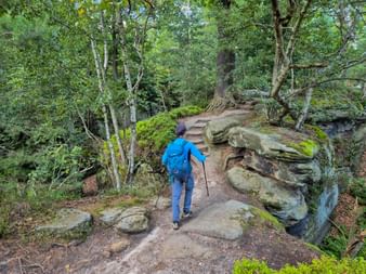
The hiking paths are largely natural yet well maintained and consistently marked with the Malerweg Trail symbol. Some sections include stairs or steeper climbs – but easier alternatives are available, allowing everyone to enjoy the landscape at their own pace.
Questions and Answers about hiking the Malerweg Trail
The Most Beautiful Places Along the Malerweg Trail
The Most Scenic Stages on the Malerweg Trail
Why Choose to Hike the Malerweg Trail?
Bastei & Scenic Trails
Breathtaking panoramas from the iconic Bastei Bridge.
Inspiration for Artists
Landscapes that inspired the painter Caspar David Friedrich.
Historic Spa Towns
Bad Schandau and Rathen, full of charm, history, and character.
Nature-Friendly Rest Stops
Recharge at cozy mountain guesthouses and rustic shelters.
Elbe & Diverse Landscapes
Stunning mix of river views, forests, and rock formations.
Malerweg Trail: Your Benefits with Eurohike

If you have any questions about your hiking tour on the Malerweg Trail, I am here to help and advise you!
Friday: 9.00 am - 5.00 pm
