120
Kilometers
From Starnberg to Füssen
7 stages
Through the Bavarian Alpine foothills
4–6 hours
Average hiking time per day
1.068 Meters
Highest point at Hoher Peißenberg
April to October
Best time to travel
Route & Itinerary
The King-Ludwig-Way spans 120 kilometers from Starnberg on Lake Starnberg to Füssen in the Allgäu. Opened in 1977, the trail largely follows the historic paths that King Ludwig II used during his travels through Upper Bavaria.
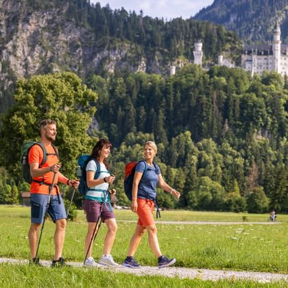
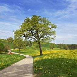
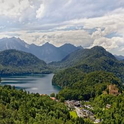
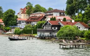
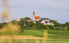
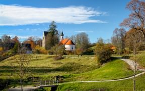
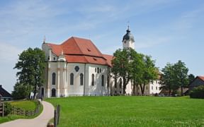
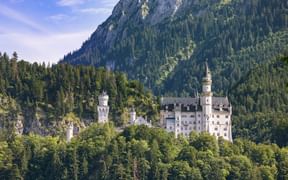
The route meanders through the diverse landscapes of the Bavarian Alpine foothills, passing Lake Starnberg, Lake Ammer, and Lake Staffel. Highlights along the way include Andechs Abbey, Wessobrunn Monastery Church, Hoher Peißenberg with its pilgrimage church, and the Wieskirche, a UNESCO World Heritage Site. The trail continues past Lake Forggensee, leading to its final destination in Füssen, near the iconic Neuschwanstein Castle.
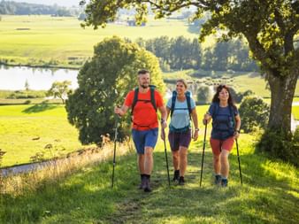
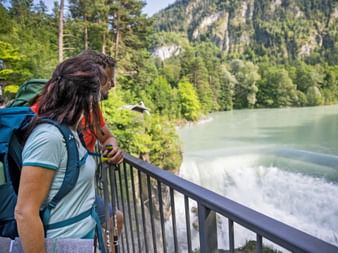
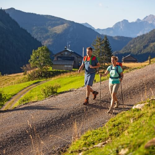
The trail is clearly marked with a white sign featuring a blue “K” and the words “König-Ludwig-Weg.” It primarily follows well-maintained hiking paths and forest trails, with a total elevation gain and loss of roughly 1,700 meters
Questions and Answers about hiking the King-Ludwig-Way
The Most Beautiful Places Along the King-Ludwig-Way
The Most Beautiful Stages on the King-Ludwig-Way
Why choose to Hike the King-Ludwig-Way?
Royal Footsteps
of Ludwig II, Otto Friedrich Wilhelm of Bavaria.
Majestic Finale
with views of the iconic Neuschwanstein Castle.
Castles & Abbeys
like Andechs Abbey, Wessobrunn Monastery, and the Wieskirche.
Alpine Panorama
the Alpine foothills, Lake Ammer, Lake Staffel, and the Zugspitze.
Bavarian Tradition
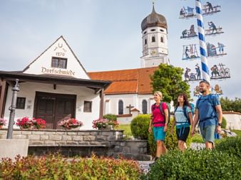
Regional inns, beer gardens, and specialties such as cheese and beer.
Travel Stories of the King-Ludwig-Way
King-Ludwig-Way: Your Benefits with Eurohike

If you have any questions about your hiking tour on the King-Ludwig-Way, I am here to help and advise you!
Friday: 9.00 am - 5.00 pm
