374
Kilometers
across the Salzkammergut
23 stages
through mountain and lake landscapes
13.400
total meters of ascent and descent
Tauplitzalm
highest point at 1.630 meters
May - October
best time to travel
Route & Itinerary
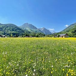
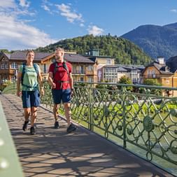
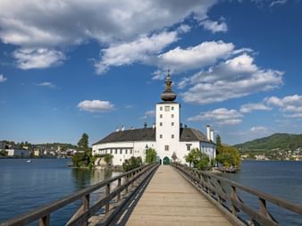
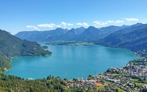
The BergeSeen Trail stretches 374 kilometers across the Salzkammergut, connecting clear mountain lakes, hidden gorges, and expansive highlands into a route full of surprises. Each section has its own character: from narrow paths along rocky ridges to flat stretches through tranquil moorlands.
Well-marked signposts – the yellow “S” on a black background – reliably guide the way, making the route easy to follow even without prior local knowledge.
Depending on the stage, the hiking path caters to different difficulty levels and to everyone who wants to experience Austria’s nature in all its diversity – from ambitious long-distance hikers to relaxed explorers seeking peace off the beaten tourist paths.
Questions and Answers about hiking the BergeSeen Trail
The Most Beautiful Places Along the BergeSeen Trail
The Most Scenic Stages on the BergeSeen Trail
Why Choose to Hike the BergeSeen Trail?
35 Lakes
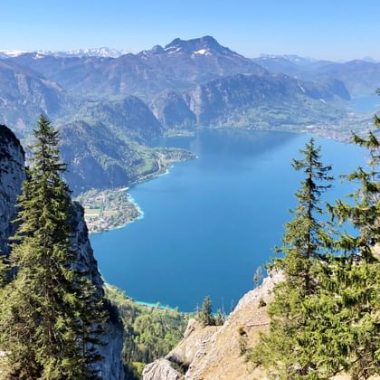
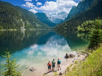
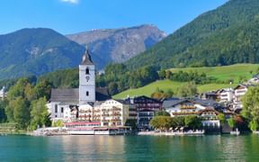
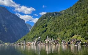
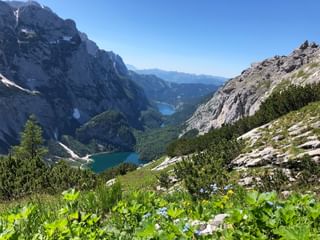
including Wolfgangsee, Hallstätter See & Grundlsee
20 Mountains
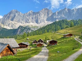
With views of Dachstein, Traunstein, Loser, and more
Panoramas
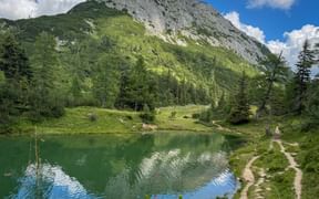
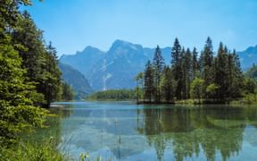
Mountains reflected in alpine lakes – especially stunning in the early morning
Historic Towns
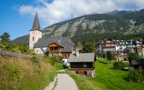
Hallstatt, Bad Ischl, Gmunden, and Fuschl am See
Salinen Paths
Walkable historic salt transport paths near Hallstatt
Travel Stories on the BergeSeen Trail
BergeSeen Trail: Your Benefits with Eurohike

If you have any questions about your hiking tour on the BergeSeen Trail, I am here to help and advise you!
Friday: 9.00 am - 5.00 pm
