121 Kilometers
Route around the Dachstein massif
2.700 Meters
Above sea level
5–7 Hours
Average daily walking time
June to September
Best time to visit
Trekking
Combines everything experienced hikers long for
Route & Itinerary
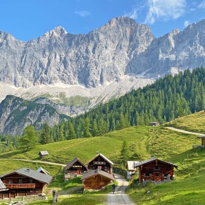
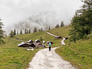
The Dachstein High Altitude Circular Trail is an alpine loop that circles the Dachstein massif in about eight stages, linking the three Austrian provinces of Styria, Salzburg, and Upper Austria.
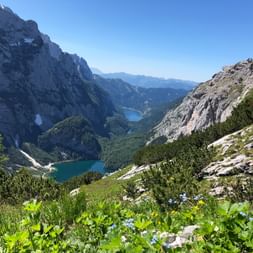
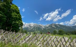
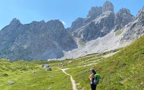
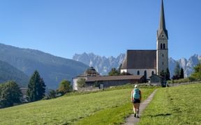
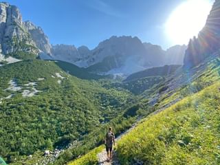
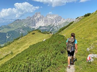
Covering roughly 121 kilometers and 6,700 meters of elevation gain, the route showcases a stunning variety of landscapes — from gentle alpine meadows to high-mountain passes reaching nearly 2,700 meters.
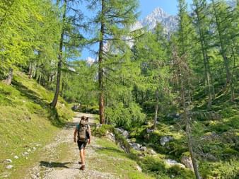
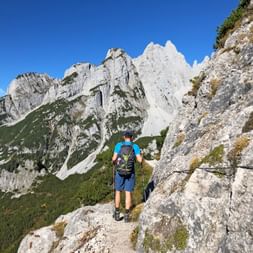
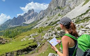
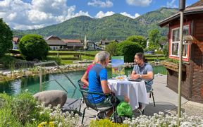
Our self-guided hiking tours on the Dachstein High Altitude Circular Trail are tailored for experienced, sure-footed hikers and classified as "mountain hiking" and "trekking". Along the way, welcoming accommodations invite you to rest and recharge, offering cozy overnight stays — the perfect way to end a day of alpine adventure.
Questions and Answers about hiking the Dachstein High Altitude Circular Trail
The Most Beautiful Places Along the Dachstein High Altitude Circular Trail
The Most Scenic Stages on the Dachstein High Altitude Circular Trail
Why Choose to Hike the Dachstein High Altitude Circular Trail?
The Dachstein
is one of the few glaciated peaks in the Northern Limestone Alps
Three Austrian States
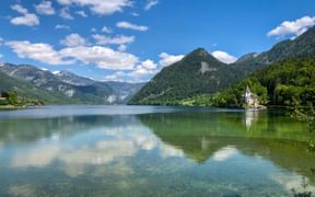
Upper Austria, Styria, and Salzburg.
World Heritage
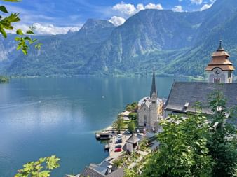
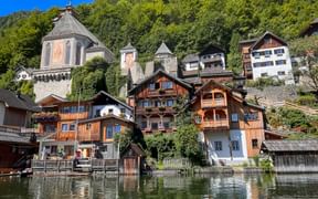
UNESCO World Heritage Site of Hallstatt–Dachstein/Salzkammergut
Mountain Life
Alpine Club huts: Guttenberghaus, Hofpürglhütte & Goiserer Hütte.
Alpine Habitats
Blooming gentians, alpine roses, and globe flowers.
Travel Stories on the Dachstein High Altitude Circular Trail
Dachstein High Altitude Circular Trail: Your Benefits with Eurohike

If you have any questions about your hiking tour on the Dachstein High Altitude Circular Trail, I am here to help and advise you!
Friday: 9.00 am - 5.00 pm
