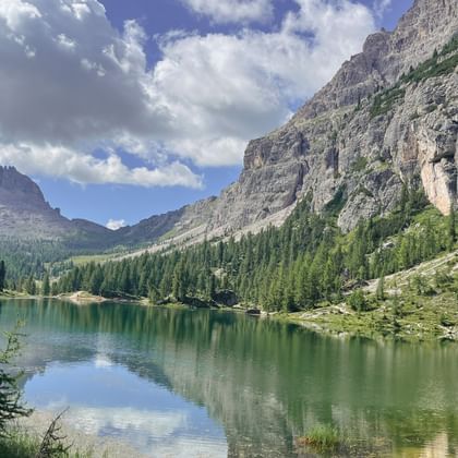
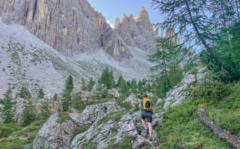
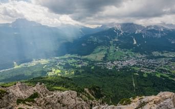
If you want to experience a hike between Austria and Italy in a particularly active and spectacular way, then the Carnic mountain trail is right for you. The path connects everything that nature lovers and hikers love so much: incomparable views of the Sesto Dolomites and the beautiful Wolayersee as well as (secret) observation of the cute marmots. Every day new and unforgettable impressions open up to you. This is how the Gailtalers connect with the Italian alpine pastures in an inimitable way.
Details about the hiking holiday on the Carnic mountain trail
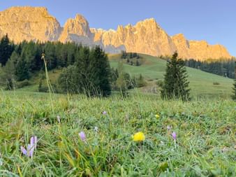
How did these unique alpine pastures come about? What characterises the work and life of people on the alpine pasture? What is the story behind every rustic mountain hut? Question after question – to which you will find the answers on the Carnic mountain trail. Even the landscape, which changes every day, tells you something about the region. From rugged and rocky mountains to wide plateaus and lush, colourful flower meadows, everything is included.
Over eight days you will not be able to temper your amazement, that is a promise! The trip starts on day one with the cable car at the mountain climbing village of Sexten. Immediately afterwards you cross the Austrian border and arrive in Italy. Past the Sillianer hut to the Kreuzberg pass in the Val Visende. On day four you go to Monte Rinaldo in the beautiful high valley Val Popera. Extensively absorb the Italian atmosphere! Because from now on the trip will take you back to Villach, Austria.
The highlights of the hiking trip on the Carnic mountain trail
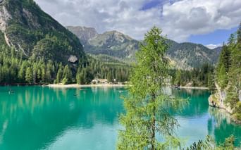
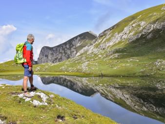
Crystal clear and blue – Lake Wolayersee: The mountain lake, including the hut of the same name, is located at 1,960 metres above sea level and is a true natural jewel right on the Carnic mountain trail. The path leads from Kötschach-Mauthen via the Lesachtal to Birnbaum up to the mountain lake.
Sextner sundial: The larges stone sundial in the world is formed by the five Dolomite peaks: Neuner, Zehner, Elfer, Zwölfer and Einser.
Useful information about the hiking trip on the Carnic mountain trail
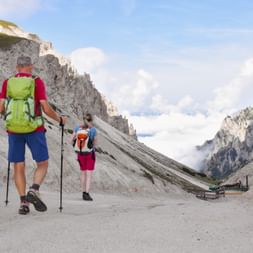
The tour on the Carnic mountain trail falls under the Eurohike category ‘mountain hiking’. Even if the route runs on well-marked mountain and hiking trails, partially exposed passages are included in the route plan. So you need experience and fitness to walk up to seven hours a day.
Has mountain fever gripped you? Then click through the new tour catalogue now!
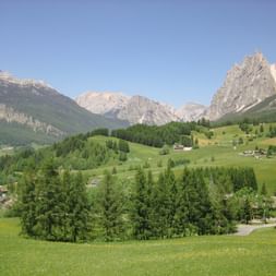
In the morning you enjoy a transfer to the mountaineers village of Sexten. Then by cable car ascent to the start of the tour onto Mount Helm. With a view onto the renowned sundial ‚Sextner Sonnenuhr‘, the peaks of the Dolomites towering high above Sexten you walk along the Carnic ridge. You cross the border over to Austria, lateron the route leads you back to Italy. Past the huts Sillianer Hütte and Klammbachalm you reach the pass Kreuzberg and continue to Padola, the finish of the stage.
Transfer to Sega Digon, from there you hike slightly below the actual high-altitude path, accompanied by an amazing view onto the steeply ascending flanks of the large Kinigat. In the shade through forests and across colourful flowering meadows you reach the valley Val Visdende.
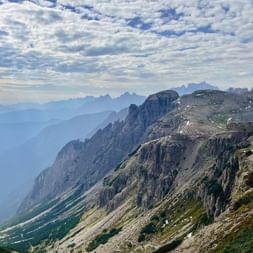
Via forest paths you ascend higher and higher to the mountain chain Monte Rinaldo. In the stunning high mountain valley Val Popera you enjoy the stupendous view onto the mighty rock castles and down onto the marvellous Laghi d`Olbe. Via the mountain ridge of the Sasso Alto you continue to Sappada. A shorter alternative route via the valley Val Visdende to the Rifugio Sorgente del Piave is also on offer.
Short transfer to the trailhead, the quaint hut „Rifugio Tolazzi“. After a while you reach Lake Wolayer See, this crystal-clear, blue lake is a very special highlight of today’s tour. Again and again you enjoy wonderful views onto the pass and the impressive rock faces. You descend via the Carinthian border path all the way to the alp Valentinalm. By public transport you reach Kötschach Mauthen.
Transfer to hut Straniger Alm, Nassfeld. The Nassfeld-pass leads past numerous glistening lakes and burbling streams, alpenrose fields, wet meadows cotton grass and various types of orchids characterising today’s scenery. We highly recommend you enjoy a tasting of the characteristic cheese specialtities on one of the many alp-dairies.
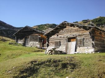
Your last hiking stage leads you from the Nassfeldpass to the Eggeralm, where numerous huts of the Gailtaler farmers are located. There your hiking-trip ends with a transfer to Villach, the second largest city in Carinthia. Villach provides a wonderful portion of "Dolce Vita" and guarantees an all-round successful conclusion to your eventful hiking tour.
approx. 4 to 5 hours
13 km
530 m
650 m
Day
8
Departure or extension
Characteristics of the route
The route leads along well-marked mountain- and hiking paths, the slightly more exposed section of the Carnic high-altitude path is generously bypassed. The paths are easy to walk and for walking times up to 7 hours a good basic fitness level is required. Panoramic views onto the surrounding mountain world of the Dolomites await.
Reizvolle, sehr unterschiedliche, schöne Wanderetappen, komfortable bis urige Unterkünfte und historisch interessantes "Grenzwandern" zwischen drei italienischen Provinzen ((Südtirol, Venetien, Friaul) und Österreich. was uns sehr gefallen hat, etwas Besonderes war und wir unbedingt weiter empfehlen.
VerenaWinkleranswered:
Liebe Frau Koenemund, vielen Dank für das tolle Feedback! Es freut uns wirklich sehr, dass Sie so eine tolle Zeit mit uns in Norditalien verbracht haben. Wie wäre es das nächste Mal mit einer Wanderung im schönen Salzkammergut?